
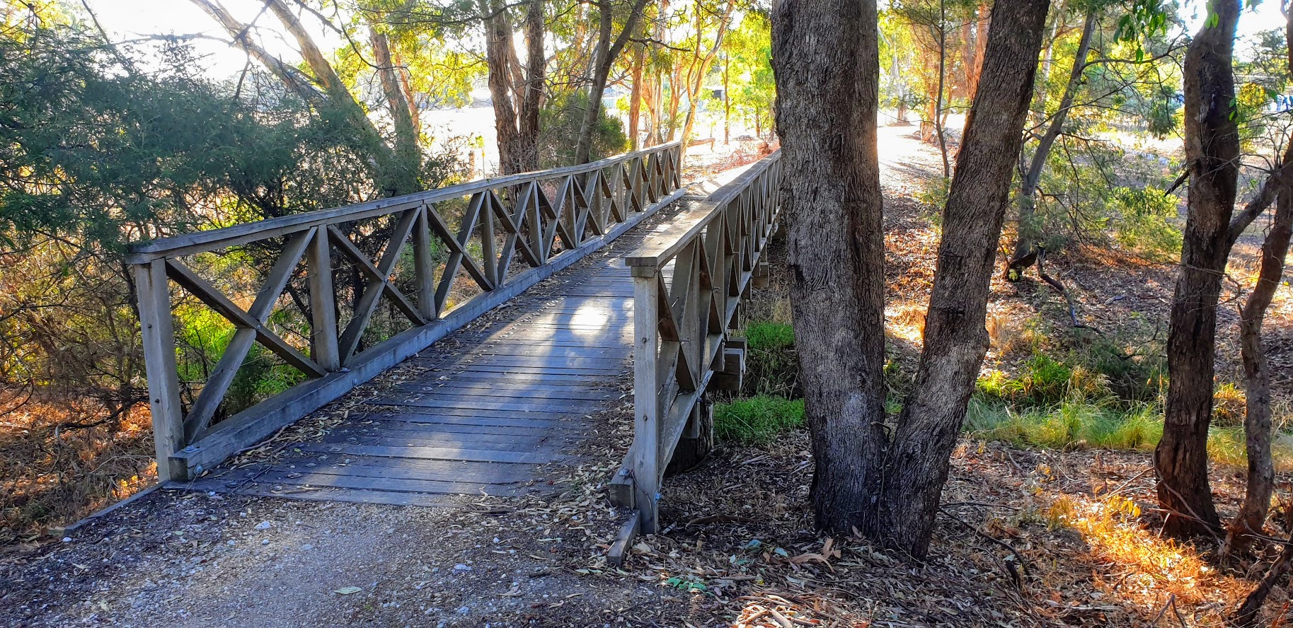
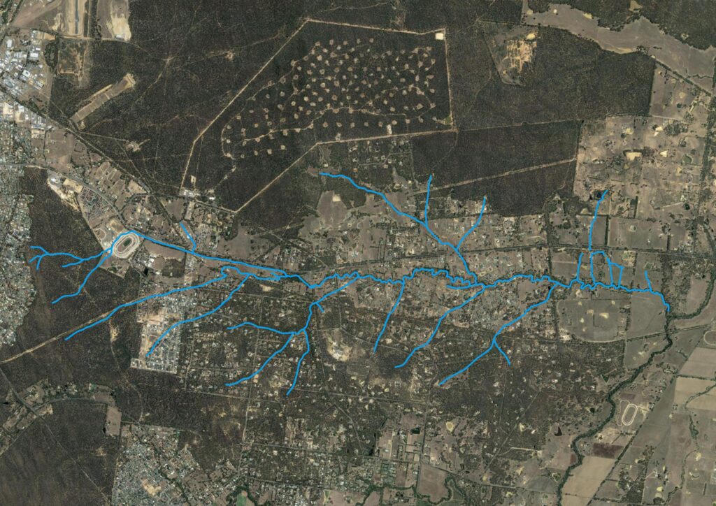
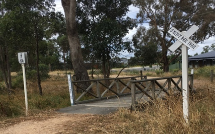
Splitters Creek is the major creek in Junortoun, running from west to east on the south side of McIvor Highway. The creek is approximately 6km in length, commencing adjacent to Pratts Park Road in the Greater Bendigo National Park and joining with Axe Creek at Longlea.
Ecological assessment project 2023
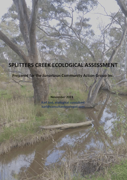
In 2023 a first-of-its kind project was undertaken to learn more about Splitters Creek. Junortoun Community Action Group was awarded a grant by Landcare Victoria to:
- Develop a map of the land tenure along the creek.
- Produce an ecological assessment of the health of the creek.
- Create flora and fauna species lists. These will be used to plan revegetation projects and to understand species requirements such as nest boxes.
- Interact with landholders adjoining the creek. This included including on-site visits and information and education sessions to promote the creek’s value
About Splitters Creek
Splitters Creek is home to a variety of different habitats, including extensive woodlands dominated by River Red Gum and Grey Box. Remnant areas contain native grasses, shrubs, lilies, and daisies. The creek is rich in aquatic life, providing habitat for birds, frogs, insects, and other fauna. It also serves as a corridor for animals moving between Axe Creek to the east and the box ironbark forests of Greater Bendigo National Park to the west.
Landowners
Splitters Creek flows through private land of generally smaller blocks (2-5ha), however there are some sections in the east that flow through larger parcels of agricultural land and some small Crown land or reserve frontages.
Generally, there is significant variation in the management of the Creek with some parts degraded due to clearing from rural residential / lifestyle living.
The management practices of the landowners and the biodiversity of the creek are poorly documented. The status of the Creek in relation to the birdlife, animals and freshwater eco-systems it supports have not been documented previously.
The project aim was to show that Splitters Creek should be recognised as a creek line with valuable vegetation and a significant ecosystem.
In times of heavy rain or extended rain periods, Splitters Creek floods, inundating roads from St Vincents Road to Bennett’s Road.
Soil types
Narrow active floodplains occur along the creek that flow through undulating Ordovician terrain. Soils are variable higher in the catchment, but bleached and mottled yellow duplex soils are dominant lower in the catchment.
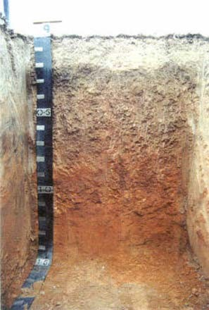
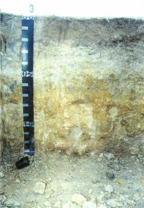
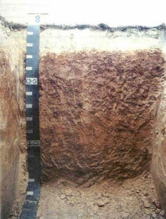
The yellow colour indicates that the soil has poor drainage and remains saturated for several weeks after rainfall limiting oxygen. An occasional sandy wash may be found overlying the yellow duplex soil where flooding has occurred. Minor salting and severe gully erosion occur.
Junortoun temperature and rainfall
The mean average maximum and minimum temperatures over 12 months are 21.2°C and 8.1°C respectively.
The mean annual rainfall is 510mm and the mean annual number of days of rain is 70 days.
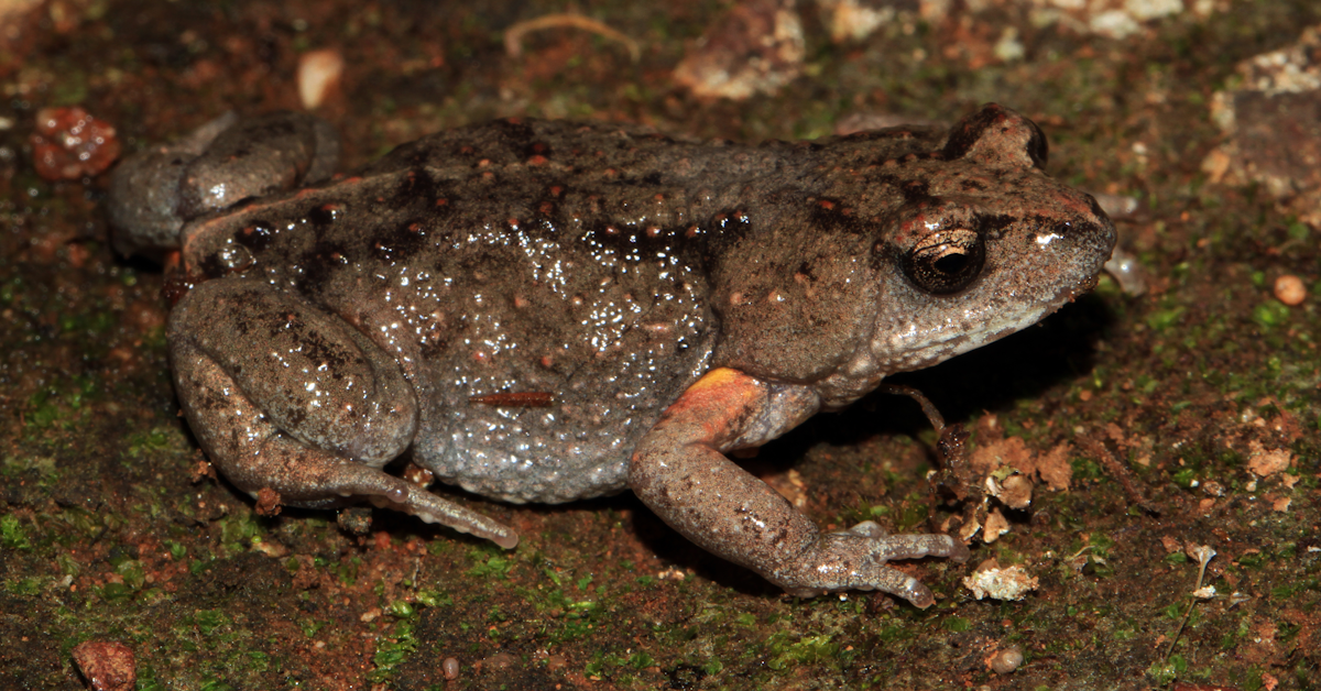
Endangered species – Bibron’s Toadlet
Bibron’s Toadlet (Pseudophryne bibronii) is found in the wetland of the nearby Honeyeater Bushland Reserve, which overflows into Splitters Creek. An outcome of the survey will be to determine if Bibron’s Toadlet exists in the creek and to what extent.